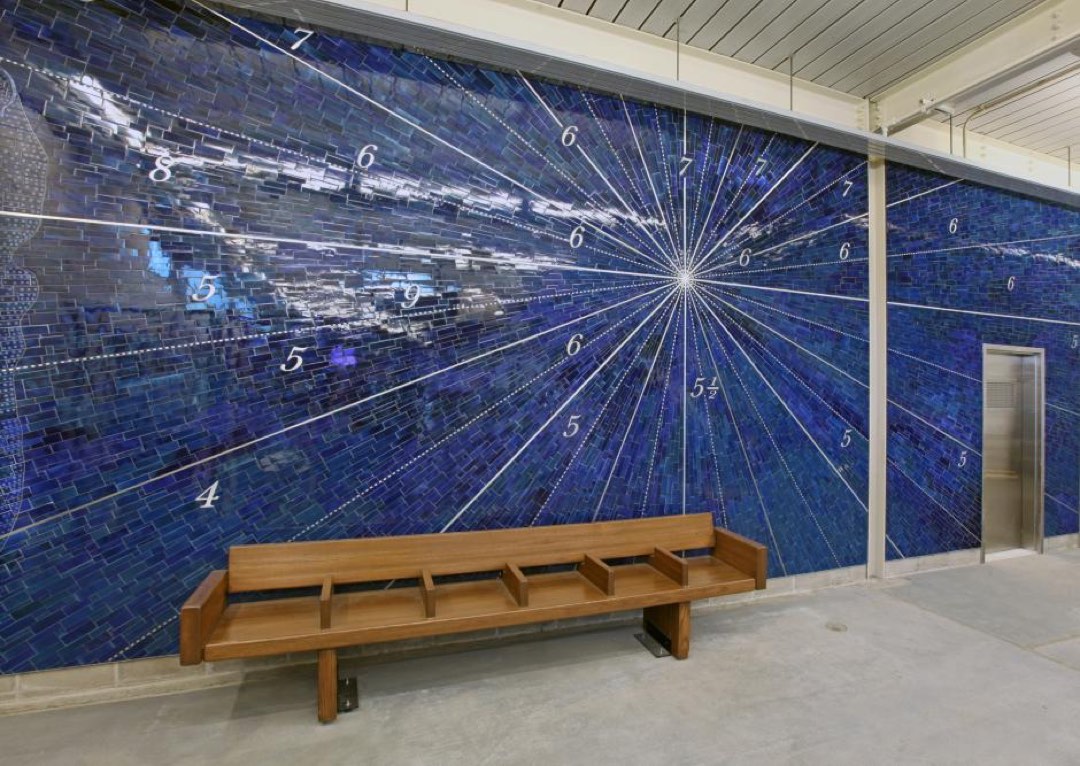
Smith-9 Sts station (F,G) · Brooklyn, NY · 2013 · Glass
Nautical Charts – Gowanus & Red Hook from 1733-1922; Fathom Points + Compass Bearings by Alyson Shotz
Historic nautical charts of Gowanus and Red Hook across 26 prismatic windows, plus a stainless-steel mosaic of an 18th-century map. — Glass · Brooklyn, NY (2013).
 Mural Map
Open in Mural Map